by Taimoor Sohail
For 67 days from early March to mid May, I spent my time on board the US Antarctic Program icebreaker, the Nathaniel B. Palmer, on a scientific expedition from Hobart to Punta Arenas in Chile.
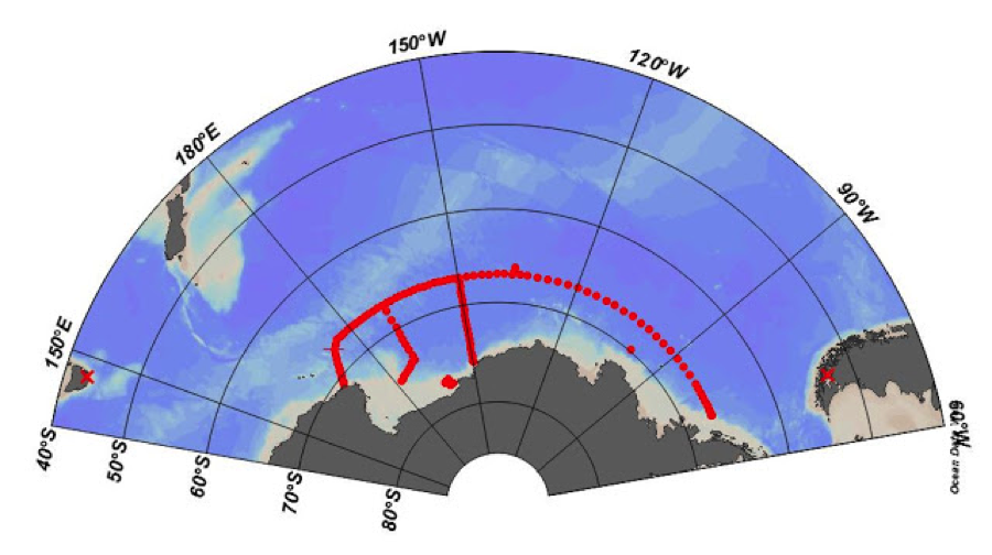
The aim of the research cruise was to collect hydrographic (i.e., salinity, pH, temperature and other chemical) data over several thousand kilometres mostly along the 67S latitude, just off the coast of Antarctica.
This was my first research cruise, and will likely be the longest I will ever take. While a lot of time was spent taking scientific measurement of the ocean basin, I still got to experience some amazing natural wonders along the fringes of Antarctica.
The journey started with a ‘short’ 9 day steam from Hobart to our first sampling station, just off the coast of Cape Adare, Antarctica. The trip from Hobart was rough – very rough. As we traversed the roaring 40s and 50s (in latitude, that is), we very quickly found who had the strongest of stomachs.
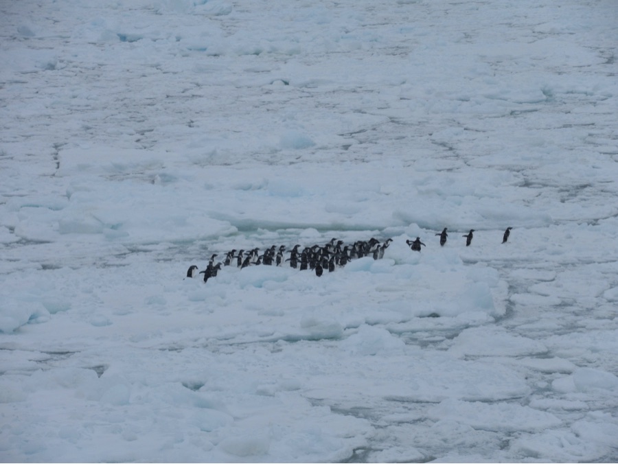
As we approached Cape Adare, the temperature dropped, and as icicles began growing on the ship, we started to hit large ice floes. On the ice floes were the first of very many penguins we would see on the trip, as well as their predators, seals of all shapes and sizes.
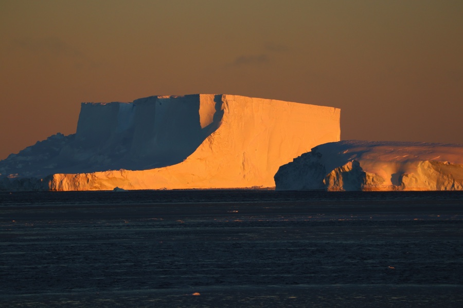
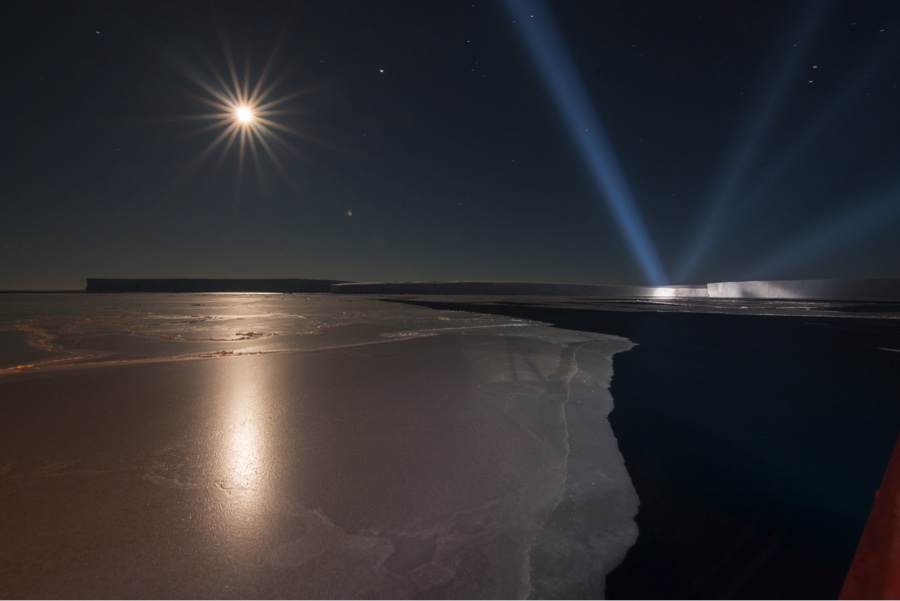
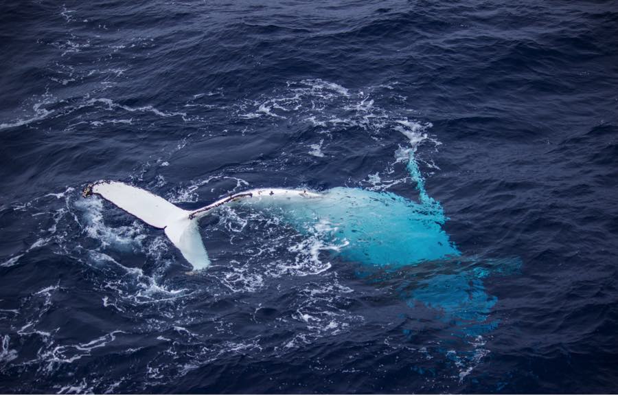
The ship then turned east towards Chile along the 67S latitude. We dipped south to the edge of the Nickerson ice shelf along the way, in the meantime catching sight of the Aurora Australis, countless Adelie and Emperor penguins, and seals and humpback whales. Giant icebergs floated past us, frozen into a white sheet of sea ice. I became accustomed to the signs of growing sea ice, from ‘grease ice’ to ‘pancake ice’ to large growlers (pieces of freshwater hidden amongst the sea ice). Forging through the ice meant restless nights (the noise was enormous) and any free time during the day was spent outside in the -30C temperature.
But as this strange new world unfolded around me outside, I was still keenly aware of my role on the ship. As a CTD watchstander, I spent 12-hour shifts observing the sampling instrumentation as it was lowered to the ocean floor, all the while taking key measurements. The work was relentless, but I found myself getting into a stride and making lasting friendships with the crew along the way.
Scientifically, the trip was a success. The Southern Ocean is notorious for being the roughest in the world, and while we got a fair share of bad weather that grounded us for days (once in 144km/hr winds!), we still managed to sample a lot of the stations in our original plan. This led to a high quality, high-resolution data set of this part of the Southern Ocean, the first in 10 years.
As we crossed the Drake Passage and Strait of Magellan on our way to Chile, and I caught sight of the first land in 67 days, I found myself reflecting on the journey I had just taken. I was lucky enough to explore the most remote parts of the world, a place few others have ever been to or ever will go. In the process, I got to advance the field of oceanography and help produce data that will no doubt be used for research in the far future.
