Written by Laure Poncet
Researchers from the ARC Centre of Excellence for Climate Extremes have developed a new methodology to identify and characterise rainfall events from weather radar observations.
This not only closes the gap in research regarding the use of radars to study rainfall in Australia but also enhances our understanding of heavy rainfall events, which can have widespread impacts on society.
In a new study recently published in the Journal of Geophysical Research: Atmospheres, scientists applied this new method to identify and compare rainfall events in Brisbane, Sydney and Melbourne, providing valuable insights in their key characteristics and differences.
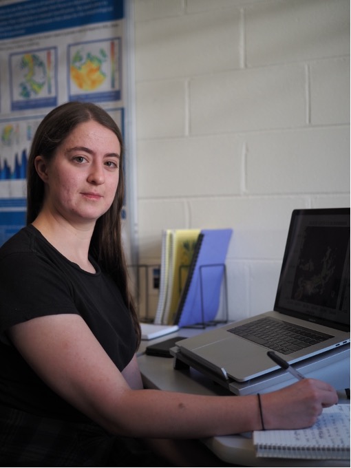
The study was initiated by Annabel Bowden as part of her PhD at Monash University and was co-authored by Prof. Christian Jakob and and Dr. Joshua Soderholm.
Why use weather radars to study rainfall events?
A common way to measure rainfall is to use rain gauges and most studies examining heavy rainfall events in Australia use data derived from these instruments.
While rain gauges are valuable tools to measure rainfall, they only provide measurements at specific locations and over a certain period. For example, observation sites may report rain gauge measurement only once a day, or even every 48 hours. This makes rain gauges less useful to study the physical mechanisms involved in rainfall events. In addition, rain gauges can be associated with biases. For example, if they have not been read for multiple days, the accumulated rainfall for these days can be mistakenly recorded as that of a single day.
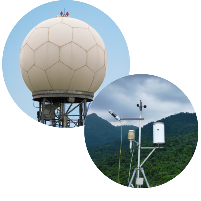
Although weather radars have their own uncertainties, they offer the advantage of providing continuous estimates of rainfall at a high temporal and spatial resolution and over a large area. They are also useful tools to obtain detailed information about the duration, structure and spatial extent of rainfall events, as well as for differentiating between different types of precipitation (see explainer box – What is the difference between convective and stratiform precipitation?).
In Australia, there have not been long-term radar studies that focus on the characteristics of rainfall events on a national scale. Addressing this issue, researchers from the ARC Centre of Excellence for Climate Extremes have developed an algorithm to identify rainfall events and investigate their key characteristics.
From examining the characteristics of rainfall events with radar, it is possible to link them to weather patterns, which in turn aids in forecasting of heavy rainfall events.
– Annabel Bowden, PhD student Monash University and main author of the study
What is the difference between convective and stratiform precipitation?
Precipitation is generally classified into convective and stratiform regimes.
Convective precipitation is usually associated with convective systems such as showers and thunderstorms, which produce heavy rainfall over small areas.
Stratiform precipitation is usually light and uniform and covers larger areas. This type of precipitation is typically associated with cold fronts.
How do rainfall events compare in Brisbane, Sydney and Melbourne?
This new approach was used to study rainfall events in Brisbane, Sydney and Melbourne and their key characteristics, including rainfall accumulation, intensity, duration, spatial extent, and contributions from convection – areas of strong vertical motion.
Researchers found that rainfall events in Brisbane and Sydney are more intense and more convective, smaller in extent, and produce more rain than rainfall events in Melbourne.
Rainfall events in Melbourne have the smallest total rain amounts and lowest intensities, which suggests that these events may be more stratiform in nature, as also indicated by the low convective intensity signal.
Scientists also studied relationships between key characteristics of rainfall events and found that duration and total accumulated rainfall are strongly correlated for all three cities. This implies that the longer a rain event is, the more rain is produced.
Similarly, intensity and convective intensity were found to be strongly positively correlated. This implies that an event with high rain intensity also means it produces more intense rain from convection.
Finally, the study demonstrates that high accumulation rain events – events that produce a lot of rain – exhibit significant differences from high intensity events – events that produce intense rain. High intensity events produce more rain and are more convective than high accumulation events, while having a shorter duration and covering a smaller area.
The full article can be accessed here.
These findings based on three locations provide a wealth of information about different types of heavy rainfall events. Subsequent work using more weather radar sites will give even more detail about rainfall around Australia.
– Annabel Bowden
Other research involving radars at the ARC Centre of Excellence for Climate Extremes
In 2022, Dr Hooman Ayat, Research Fellow at the ARC Centre of Excellence for Climate Extremes, used weather radar data to identify rapid rain bursts in Sydney.
The study revealed that rapid rain bursts intensified over Sydney by 40% in the last two decades. These findings have major implications for Sydney’s preparedness for flash flooding and associated impacts in the future. Read more here.